
Head of the Research Group: Prof. Csaba BENEDEK
Members of the Research Group: Balázs BÓDIS, Marcell KÉGL, József KÖVENDI, Gergő NAGY, Balázs PÁLFFY
Contact: benedek.csaba@itk.ppke.hu
Up-to-date 3D sensors have revolutionized the acquisition of environmental information. 3D vision systems of self-driving vehicles can be used not only for safe navigation, but also for real-time mapping of the environment, and for detecting and analyzing static and dynamic objects and scene elements. New-generation geo-information systems (GIS) store extremely detailed 3D maps of cities, consisting of dense 3D point clouds, registered camera images, and semantic metadata. Automatic filtering and processing of medical 3D data (MR, CT, or ultrasound) with rapidly evolving quality and resolution is becoming increasingly important. The use of digital tools is also playing an increasing role in cultural heritage preservation; automated scene analysis and model reconstruction from images and laser scanning data is a key task for archaeological research.
The main goal of the research and development work in the Machine Perception and Geo-information Computing Laboratory is to obtain a holistic interpretation of our environment by automatically processing and fusing the measurements of sensors that record spatial information for different applications. Our research is carried out in cooperation with PPKE ITK and the HUN-REN SZTAKI Machine Perception Research Laboratory.
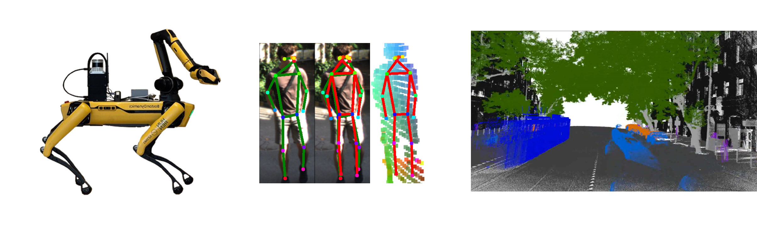
Environment perception from a mobile quadruped robot equipped with LiDAR and camera sensors: results on human pose estimation and 3D scene mapping.
Future research directions, collaboration opportunities
The research group actively participates in national and international research projects in the fields of machine vision and artificial spatial intelligence. Main application areas: environmental sensing of mobile robots and autonomous vehicles, remote sensing, satellite image analysis, and medical image processing.
Key publications
- Ibrahim, Y. and Benedek, Cs. (2023). MVPCC-Net: Multi-View Based Point Cloud Completion Network for MLS Data. Image and Vision Computing, ELSEVIER, vol. 134, article 104675.
- Zováthi, Ö., Pálffy, B., Jankó, Z., & Benedek, Cs. (2023). ST-DepthNet: A spatio-temporal deep network for depth completion using a single non-repetitive circular scanning Lidar. IEEE ROBOTICS AND AUTOMATION LETTERS, 8(6), 3270-3277.
- Benedek, Cs. (2022). Multi-level Bayesian Models for Environment Perception. SPRINGER INTERNATIONAL PUBLISHING